Courtesy INT
Map provides approximate location.
MapleCross – Morell River Riparian Zone Natural Area (Phases I, II, III)
Bangor, PE
Island Nature Trust – 2021 (Phase I), 2022 (Phase II), 2023 (Phase III)
81 hectares
Property Description
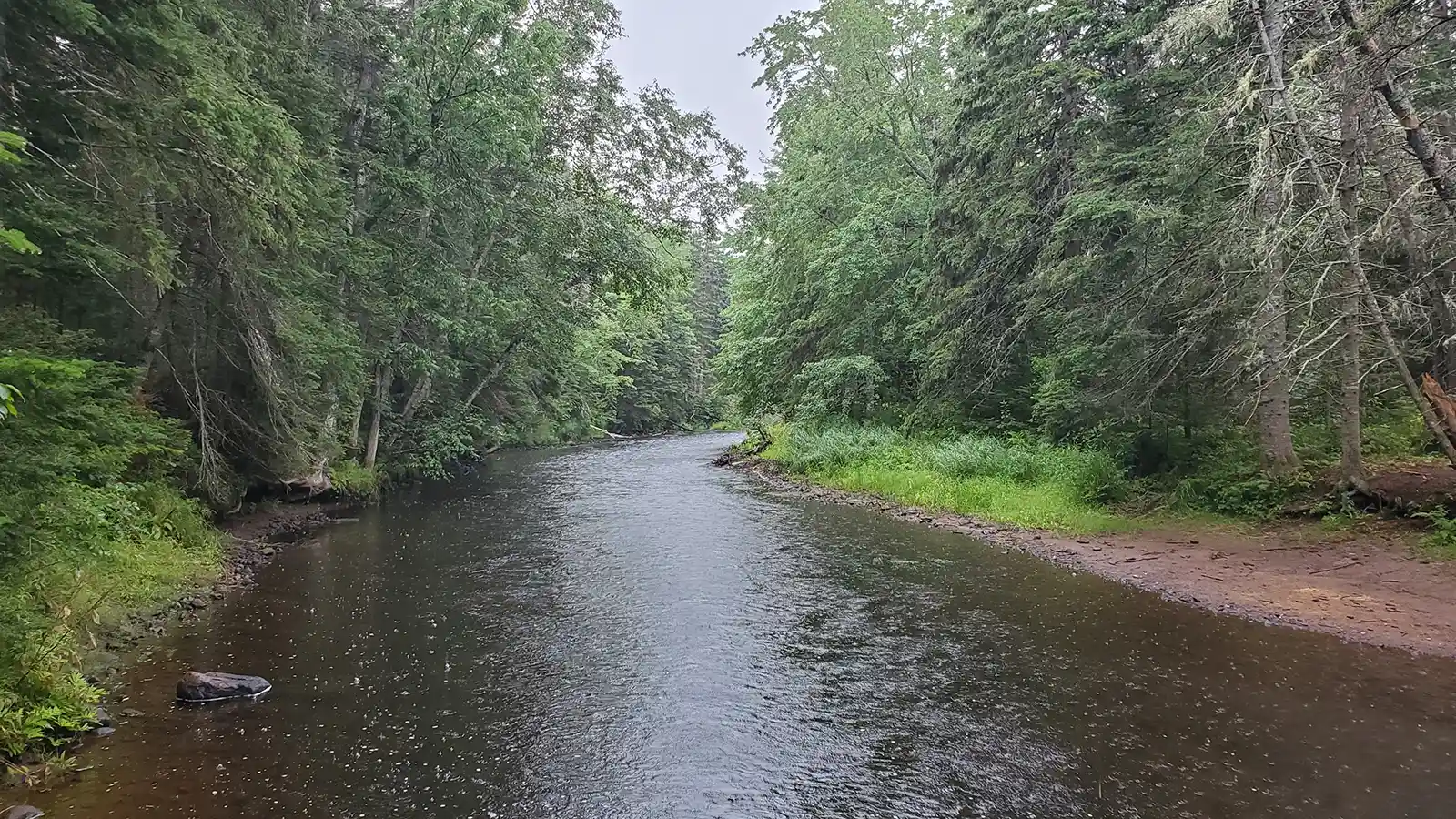
The Morell River on Prince Edward Island has been recognized for its ecological significance as well as a rich history of cultural uses. The waterway is a popular location for recreational paddling and angling. This is in part due to its support of Atlantic salmon and brook trout, which are both monitored as at-risk populations on PEI. The Morell River is traditionally called Puku’samkek Sipu by the Mi’kmaq, meaning “At the place, in the river, where there are plenty of clams in the sand.” The Morell Abegweit First Nation Reservation sits just upstream from the property. This land contains are as previously used by the Mi’kmaq where they travelled by canoe to reach Saint Peter’s Bay and the Saint Lawrence River.
Canada jay, pileated woodpecker, and the federally at-risk Canada warbler are all rare bird species occurring seen within the Morell River riparian margin on Island Nature Trust properties. Because of the ecological and cultural richness present, the river has a distinctive buffer zone extended to 60 meters under the Prince Edward Island Planning Act and Subdivision Regulations. The MapleCross–Morell River Riparian Zone Natural Area contributes to a network of over 25 protected properties that contain this buffer. The property hosts a mixed wood forest that slopes down to the water’s edge. The canopy contains red maple, trembling aspen, balsam fir, and red spruce. Further from the river is a small open bog with sheep laurel, rhodora, and eastern larch. The property incorporates evidence of past anthropogenic impacts, including potato farming and a white spruce plantation.
Island Nature Trust will work to restore these impacted areas and return them to native Wabanaki (Acadian) forest. This property will protect the Morell River watershed by moderating the temperature of the river through shade, reducing sediment influx from surrounding farmland, and increasing habitat connectivity in the Morell-Bangor region. In the interim, the farmland will be managed to support the federally at-risk Bobolink and other ground nesting birds.
Thanks to the generous donation from the MapleCross Fund and our federal and provincial funding partners, the 81-hectare MapleCross–Morell River Riparian Zone Natural Area is now protected forever.
Content and property pictures courtesy of Island Nature Trust.